Sprawl is widely regarded as the scourge of urban planners, but it is not always the easiest thing to measure. One possible way to explore the extent of urban sprawl is using land cover data. In Europe, the European Environment Agency use the Corine (coordination of information on the environment) progamme to categorise land cover in Europe. Since 1985 the programme has tracked land cover across 44 categories at a scale of 1:100,000. The programme is used to explore the land cover of artificial surfaces, agricultural areas, forest and semi-natural areas, wetlands, and waterbodies.
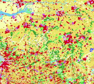
From a sprawl perspective it is interesting to look at some of the sub-categories of artificial surfaces, particularly continuous and discontinuous urban fabric as well as industrial or commerical units which often take up significant land. A closer examination of European borders also shows how planning policies can differ. For example, a look at the Dutch and Belgian border shows a much more compact urban form in The Netherlands compared to Belgium.
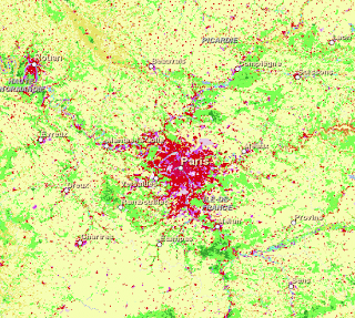
The magnitude of metropolitan world cities is also apparent. A quick look at Paris shows the extent of urbanisation compared to it’s agricultural surroundings.
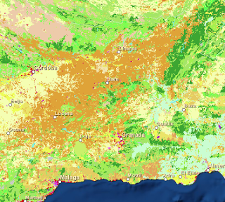
For those looking for a wine for the festive season, a quick look also reveals the wine-growing regions of Europe, such as Southern Spain.
An interactive online web tool is available for exploring all the land use cover data available from the Corine programme. Take a look for yourself.
A special thanks to Andreas Schulze Baing at the University of Liverpool for pointing out this resource to us.


